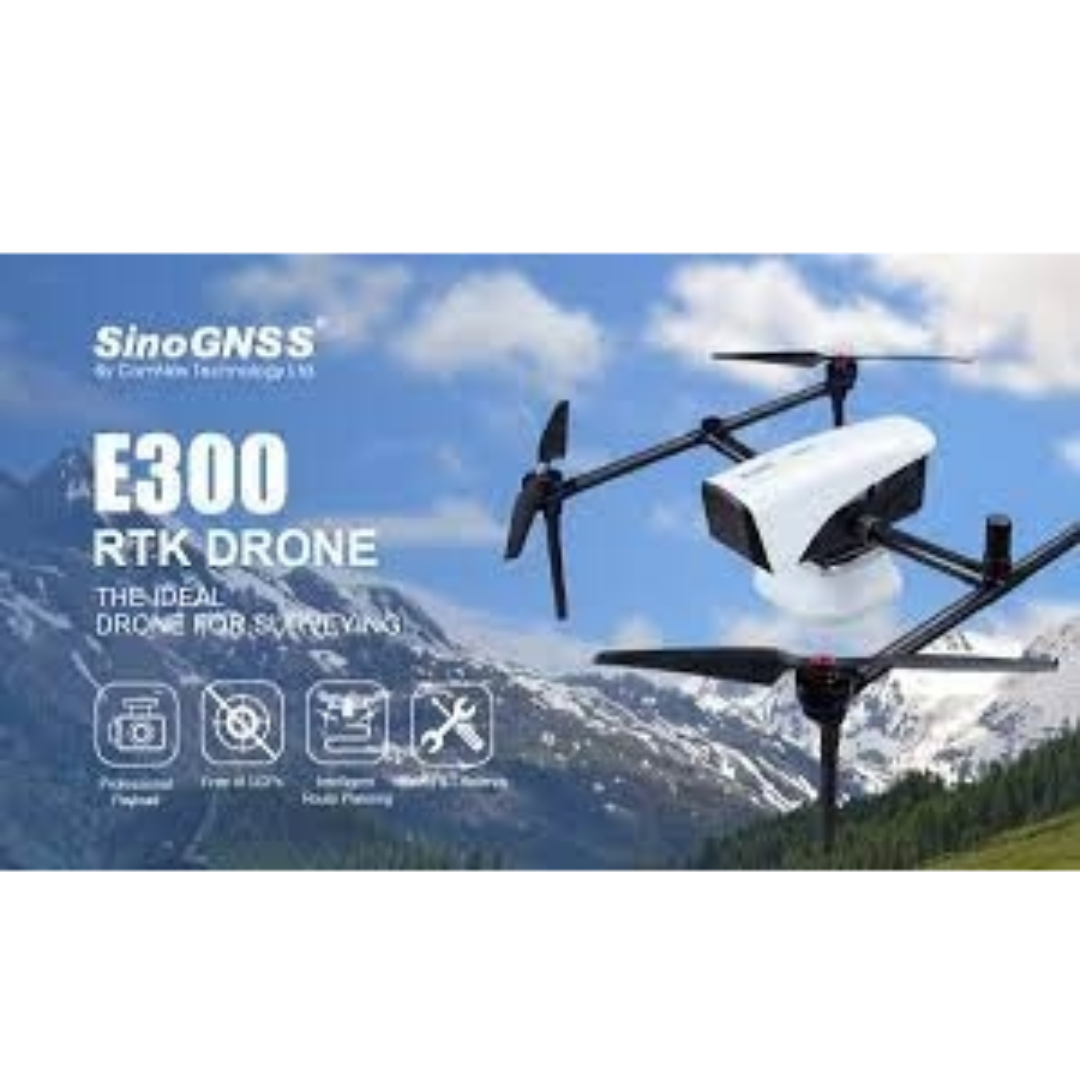
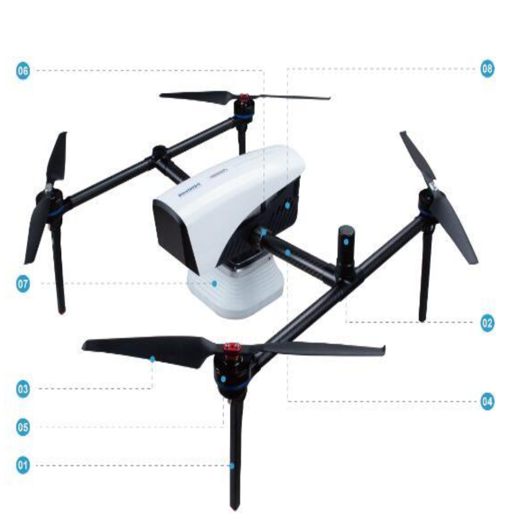
The COMNAV SINO E300 RTK Drone is a high-precision aerial monitoring drone designed for professional surveying, mapping, and inspection tasks. Equipped with advanced RTK (Real-Time Kinematic) positioning technology, it delivers centimeter-level accuracy, making it ideal for applications that require reliable geospatial data. Its robust design, long endurance, and stable flight performance ensure efficient coverage of large areas, while the integrated intelligent control system provides smooth operation and high-quality imaging. This drone is a powerful tool for industries such as construction, agriculture, mining, and environmental monitoring. Key Features: RTK-enabled high-precision positioning, professional-grade aerial monitoring, long flight endurance, stable performance in varied conditions, intelligent flight control system, and suitability for surveying, mapping, and industrial applications.